Digital Twin Slovenia

Building an integrated
Digital Twin of Slovenia

Connecting Earth Observation, geospatial data and models to understand change, explore scenarios and support better decisions.
Why DTSI matters

From data to better decisions

We turn Earth Observation and geospatial data into simulation models and decision-ready insights for a safer and more resilient Slovenia.
Earth Observation and geospatial data
Observe
Earth Observation, aerial data, sensors and geospatial information provide an up-to-date picture of Slovenia.
Digital Twin simulation models
Simulate
Models reproduce floods, landslides, water dynamics and other environmental processes under different scenarios.
Decision support using Digital Twin services
Decide
Digital Twin services help stakeholders compare scenarios, assess impacts and support better-informed decisions.
Explore our case studies

Digital Twin Slovenia in action

Explore our main applications and see how Digital Twin technology helps address real-world challenges.
Hazards

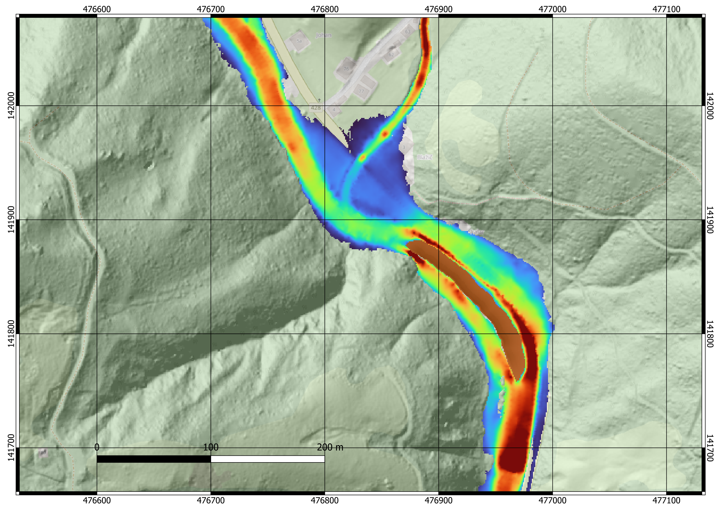
Floods & Landslides — Savinja

Understand the impact of landslides on river flooding and test different scenarios.

Water

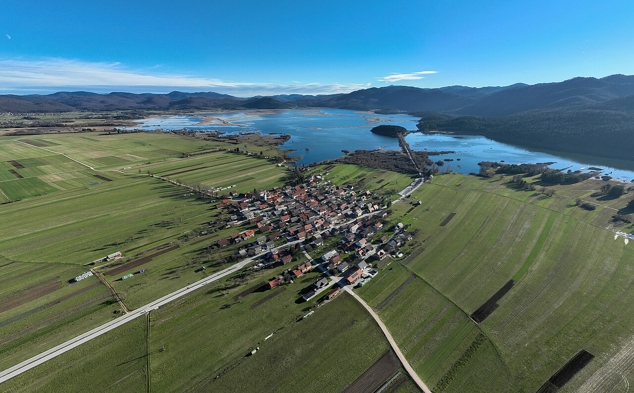
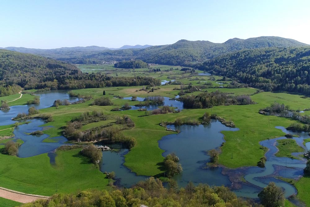
Digital Twin of Lake Cerknica

Monitor water level dynamic and simulate future conditions of intermittent lakes.

Water

WhereIsWater

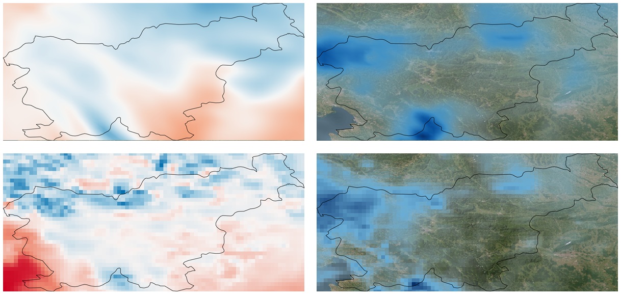
Satelitte-based mapping of floods and water persistence across Slovenia.

Explore the platform

All data. All models. One place.

LIFT is the core platform of Digital Twin Slovenia. Explore maps, data layers, models and results in an interactive environment.
Open LIFT Platform
Interactive maps
3D visualizations
Data & models
API
APIs & services
What makes DTSI different

Powered by Earth Observation

Satellite, airborne and in-situ observations provide continuously updated information about Slovenia. Combined with geospatial data and numerical models, they enable DTSI to monitor change, simulate scenarios and assess impact.
Satellite data to Digital Twin decision workflow
Our direction

Our mission. Our vision. Connected to Europe.

DTSI brings together data, technology and expertise to support a more resilient, sustainable and data-informed future for Slovenia.

Our mission

Building a shared digital environment for better decisions.

To connect Earth Observation, geospatial data and models in an interoperable environment that supports monitoring, simulation and evidence-based decision-making.

Our vision

A trusted Digital Twin of Slovenia.

A common digital environment supporting disaster risk management, water management, climate resilience and future environmental applications.

Connected to Europe

Part of a wider European ecosystem.

DTSI connects with key European data and Digital Twin initiatives and platforms, supporting data access, interoperability and the development of innovative services.

Our consortium

Who are the DTSI partners?

Flycom Technologies

As project coordinator, FLYCOM leads DTSI and develops the LIFT platform, while contributing expertise in geospatial data acquisition, 3D modelling and advanced visualisation.

Visit website

Sinergise Solutions

Brings expertise in Earth Observation data access, processing and scalable geospatial technologies for integrating satellite information into DTSI.

Visit website

University of Ljubljana

Provides scientific expertise in geospatial engineering, remote sensing and modelling to support flood, landslide and spatial risk analysis.

Visit website

SPACE-SI

Contributes expertise in satellite Earth Observation and space-based technologies, supporting the use of EO data within the Digital Twin environment.

Visit website

Centre for Computational Continuum Mechanics

Contributes advanced numerical modelling and simulation expertise to support complex physical processes and scenario-based analysis within Digital Twin applications.

Visit website

flai

Contributes AI-based classification services that can be integrated into DTSI workflows for automated geospatial analysis.

Visit website

GeoCodis Information Systems

Develops geospatial information solutions and analytical services, including the WhereIsWater application for monitoring and analysing recurrent water occurrence.

Visit website

Geological Survey of Slovenia

 Provides geological expertise, landslide inventories, monitoring methods, susceptibility information and models to support landslide risk assessment and post-event analysis.

Visit website