Case Study 2
Digital Twin of Lake Cerknica
Near real-time monitoring of an intermittent karst lake using Earth Observation, in-situ hydrological data, and high-resolution terrain models.
The Challenge
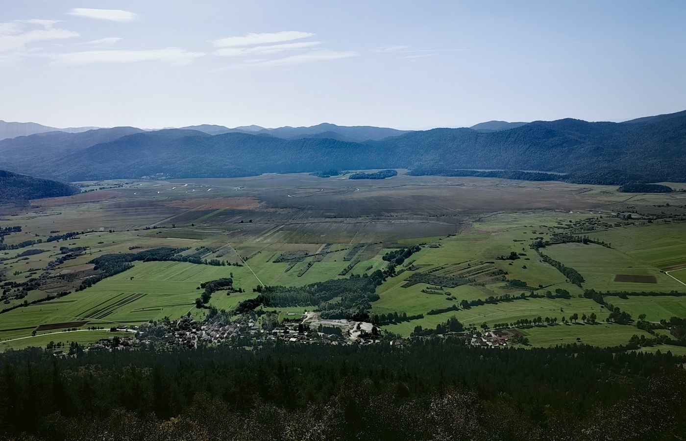
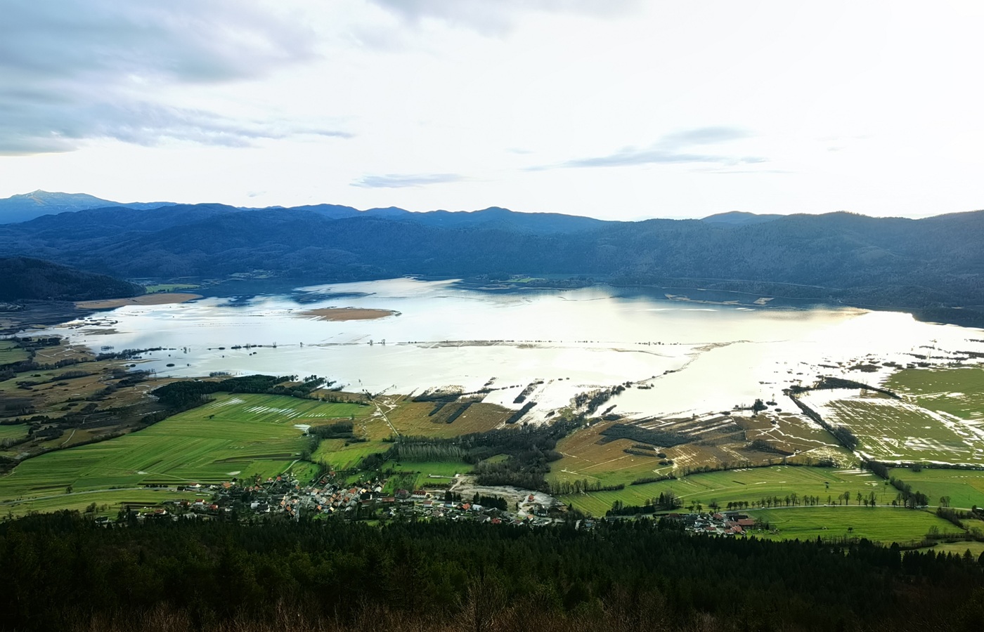
Lake Cerknica is one of Europe’s largest intermittent karst lakes. It can flood within a few days and drain over several weeks, creating highly dynamic envi onmental conditions.
These rapid changes directly affect biodiversity, land use, water management, and public safety. Traditional monitoring approaches are often spatially limited and cannot fully capture the temporal variability of such systems.
The Solution: A Digital Twin
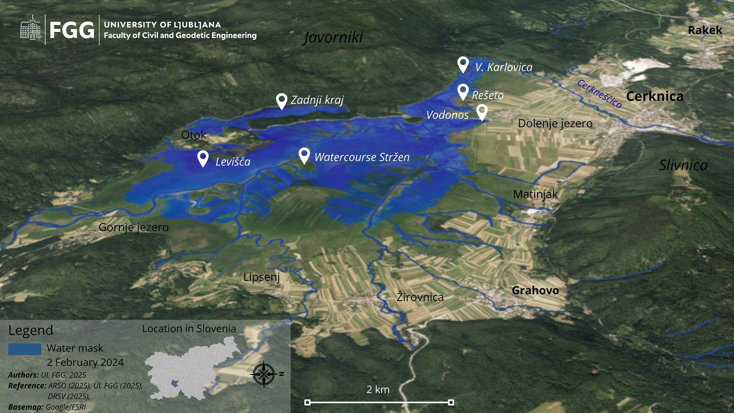
The Digital Twin of Lake Cerknica is a prototype developed within the Digital Twin of Slovenia Precursor (DTSI-P) project.
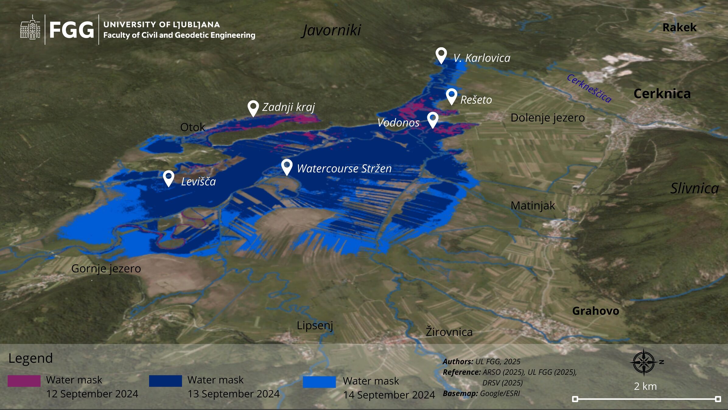
It integrates satellite imagery, in-situ hydrological measurements, and high-resolution terrain data into a single, operational digital environment that represents the lake’s hydrological and ecological dynamics in near real time.
Key capabilities include
How It Works
The Digital Twin combines multiple data sources and processing steps:

Results and Impact
The Digital Twin of Lake Cerknica delivers several operational and scientific benefits:

Why It Matters
By combining Earth Observation data, in situ measurements, and advanced geospatial modelling, the Digital Twin enables transparent, reproducible, and scalable environmental monitoring. With Digital Twin we can make different simulations (also historical) and future scenarios.

The approach is transferable to other intermittent lakes and dynamic hydrological systems, supporting wider European Digital Twin initiatives.
Developed by: University of Ljubljana, Faculty of Civil and Geodetic Engineering
Authors: Ana Potočnik Buhvald, Neja Flogie, Krištof Oštir